

About Tourmakeady
Tourmakeady (Tuar Mhic Éadaigh) is a small, scenic Gaeltacht village in west County Mayo, set among the Partry Mountains on the shores of Lough Mask and close to the Galway border. It has a strongly rural, community-oriented character, with wooded hills, lakeshore scenery and the Tourmakeady Waterfalls providing much of its appeal. Day-to-day living is peaceful and outdoors-focused, although residents generally travel to Ballinrobe, Westport or Castlebar for larger-scale shopping, services and secondary education. Tourmakeady National School serves local primary pupils, while nearby towns provide further schooling and training options. Public transport is limited, so a car is usually important; local roads connect towards Partry and Ballinrobe, Leenane and Westport, with longer-distance bus and rail services available from larger nearby centres. The village has local pub and café-style social life, alongside community facilities and seasonal visitor trade, while restaurants and broader retail choice are found in Ballinrobe and Westport. Walking, fishing, boating and hill exploration are central to the lifestyle, with the waterfall walk and Lough Mask particularly notable. Maumtrasna and the surrounding uplands offer excellent access to remote landscapes, with the Car Park at Maumtrasna acting as a useful starting point for outings.
Property Market in Tourmakeady
Based on 9 properties for sale in Tourmakeady
Property types
Bedrooms
New listings covers the last 3 months; all other figures reflect properties currently for sale.
What’s in Tourmakeady
Schools
Local primary school serving children from Tourmakeady and the surrounding rural community.
Nearby primary school serving families around Partry and the eastern side of Lough Mask.
Mixed secondary school in Ballinrobe, offering post-primary education and wider facilities.
Established secondary school in Westport, accessible for older pupils from surrounding areas.
Transport
Plan your journey ↗Regional road linking Tourmakeady with Partry, Ballinrobe and surrounding Mayo villages.
Scenic regional route connecting the area with Leenane and Connemara landscapes.
Nearest broader bus connections are generally accessed through Ballinrobe and neighbouring towns.
Rail station providing services towards Castlebar, Athlone and Dublin via the Westport line.
Main regional route supporting longer-distance journeys around west Mayo and Galway.
Amenities
Popular wooded waterfall walk and scenic local landmark, close to the village centre.
Useful access point for exploring Maumtrasna’s upland scenery and walking routes.
Large, scenic limestone lake known locally for fishing, boating and dramatic mountain views.
Local venue supporting community activities, events and social gatherings throughout the year.
Nearest substantial shopping area, with supermarkets, cafés, pubs and everyday services.
Larger nearby centre offering independent shops, restaurants, cafés, culture and professional services.
Local Clubs & Businesses
Local Gaelic games club reflecting the village’s strong sporting and community identity.
Community organisation supporting local initiatives, facilities and village development.
Local fishing network centred on Lough Mask and the area’s renowned angling waters.
Small-scale venues providing informal meals, refreshments and important village social spaces.
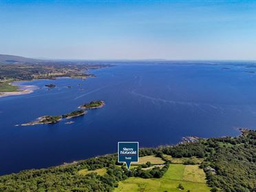
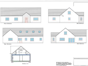
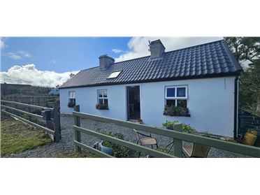
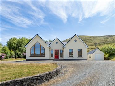
Properties For Sale near Tourmakeady



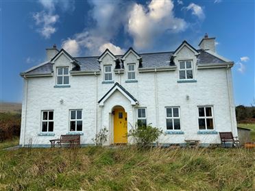

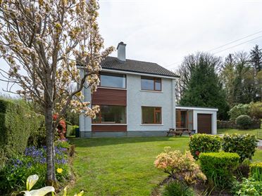
Nearby Areas
About this guide: This neighbourhood guide includes content generated with the assistance of artificial intelligence and images sourced from third-party platforms including Wikipedia. While we aim for accuracy, details such as local amenities, transport links, schools, and property data may change or contain errors. This content is provided for general informational purposes only and should not be relied upon as a substitute for independent verification. MyHome.ie accepts no liability for inaccuracies, omissions, or decisions made in reliance on this content.