
South Circular Road Neighbourhood Guide
Limerick
About South Circular Road
South Circular Road is a well-established inner-south Limerick neighbourhood, running between the city centre and the residential areas around Ballinacurra and Mungret. It has a largely mature, urban character, with substantial period housing, apartments and student accommodation alongside everyday local services. Residents are within walking distance of the city centre, the People’s Park, King John’s Castle and Limerick’s cultural venues, while the University of Limerick is readily accessible by bus or car. Schooling nearby includes Crescent College Comprehensive, Laurel Hill Coláiste FCJ and several primary schools, making the area convenient for families as well as students and city professionals. The South Circular Road itself and adjoining streets provide cafés, takeaways, pubs and small shops, with a broader choice of restaurants and nightlife in the city centre. Bus services operate along the main roads, and the location gives straightforward access to Limerick Colbert railway station, the N18 and the N69. Leisure options include the People’s Park, nearby sports clubs and the facilities of Mary Immaculate College, while Dooradoyle and Crescent Shopping Centre are convenient for larger-scale shopping and services.
Property Market in South Circular Road
Based on 7 properties for sale in South Circular Road
Property types
Bedrooms
New listings covers the last 3 months; all other figures reflect properties currently for sale.
What’s in South Circular Road
Schools
Well-known secondary school on Laurel Hill, close to South Circular Road.
Visit website ↗Co-educational secondary school in Dooradoyle, serving the wider south Limerick area.
Primary school near the city centre, convenient for families in the locality.
Teacher-training and humanities college on the South Circular Road campus.
Visit website ↗Major higher-education campus reachable across the city by bus and road.
Transport
Plan your journey ↗Frequent routes connect South Circular Road with the city centre and suburbs.
Main rail station providing services to Dublin, Cork, Galway and nearby towns.
Important western approach linking the city with Mungret, Shannon and County Clare.
Regional motorway connection towards Shannon, Galway and the national road network.
Central shops, workplaces and cultural venues are generally accessible on foot.
Amenities
Historic central park with lawns, mature planting, paths and a children’s playground.
Popular covered market offering food, produce, crafts and regular weekend events.
Central public library providing books, study space, digital access and community services.
City-centre entertainment venue with cinema, theatre, live music and hospitality options.
Riverside gastropub known for food, drinks, live music and outdoor seating.
Large south-side shopping centre with supermarkets, retail units, cafés and services.
Extensive sports and fitness facilities at the University of Limerick campus.
Local Clubs & Businesses
Prominent local campus with academic, sporting and cultural facilities.
Visit website ↗Established tennis club offering courts, coaching and competitive opportunities nearby.
Major GAA stadium hosting county hurling and Gaelic football fixtures.
Independent food, craft and produce businesses trading in a landmark city venue.
Central civic administration and public-service facilities serving residents across Limerick.
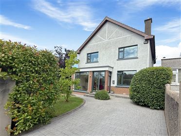
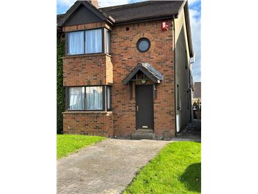
Properties For Sale near South Circular Road
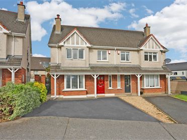

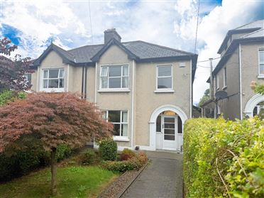

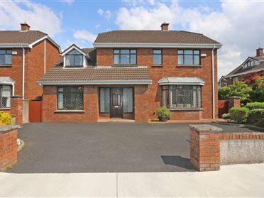

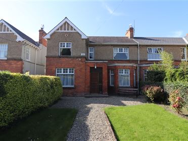



Nearby Areas
About this guide: This neighbourhood guide includes content generated with the assistance of artificial intelligence and images sourced from third-party platforms including Wikipedia. While we aim for accuracy, details such as local amenities, transport links, schools, and property data may change or contain errors. This content is provided for general informational purposes only and should not be relied upon as a substitute for independent verification. MyHome.ie accepts no liability for inaccuracies, omissions, or decisions made in reliance on this content.