
Stratford-on-slaney Neighbourhood Guide
Wicklow
About Stratford-on-slaney
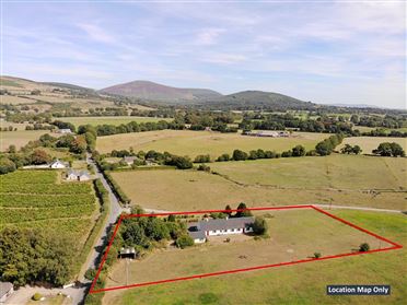
Stratford-on-Slaney is a small rural village in west County Wicklow, set in the Slaney valley between the Wicklow Mountains and the towns of Baltinglass and Dunlavin. It has a quiet, close-knit character, with scattered countryside, farmland and mountain scenery shaping everyday life more than urban amenities. Local services are limited, so residents generally use the village pub and community facilities locally, while travelling to Baltinglass, Dunlavin or Blessington for wider shopping, healthcare and dining. Primary-school provision is available in nearby villages, with secondary schools and larger retail centres requiring a longer journey. There is no railway station in Stratford-on-Slaney, and commuting is mainly by car via the regional road network, with connections towards Baltinglass, Blessington, Dublin and surrounding Wicklow communities. The area suits residents seeking space, peace and outdoor access, including walking, cycling and countryside activities around the Slaney valley and Wicklow uplands. Local social life centres on the pub, sporting organisations and community events, with nearby landmarks including the village’s historic church and the wider Glen of Imaal and Wicklow Mountains landscape.
Property Market in Stratford-on-slaney
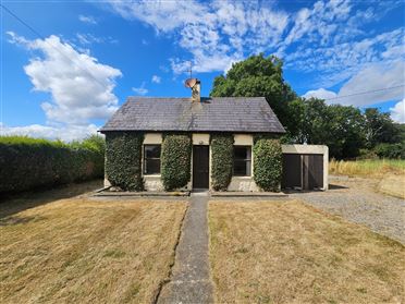
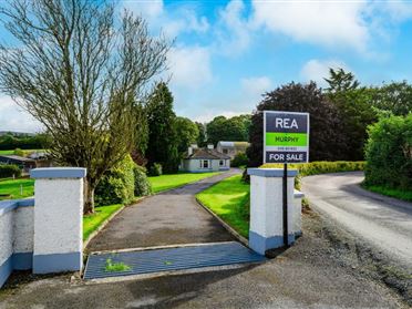
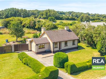
Based on 4 properties for sale in Stratford-on-slaney
Property types
Bedrooms
New listings covers the last 3 months; all other figures reflect properties currently for sale.
What’s in Stratford-on-slaney
Schools
Local primary school serving children from Stratford-on-Slaney and surrounding rural communities.
Mixed post-primary school serving Baltinglass and a broad surrounding west Wicklow area.
Post-primary school serving Dunlavin and neighbouring communities in west Wicklow.
Primary school providing local education in the nearby market town of Baltinglass.
Transport
Plan your journey ↗Main regional route linking Stratford-on-Slaney with Baltinglass, Dunlavin and surrounding villages.
Nearby bus connections provide links towards Carlow, Dublin and intermediate communities.
Local services from Dunlavin offer additional regional connections for residents without cars.
Road routes via Dunlavin and Blessington connect commuters towards west Dublin and the M50.
Nearest practical rail option, requiring a drive and onward commuter journey to Dublin.
Amenities
Village pub and social meeting place serving the local community.
Nearby town centre with supermarkets, shops, cafés, pharmacies and everyday services.
Small historic market town providing local shops, cafés, pubs and essential services.
Nearby general practice and primary healthcare provision for residents around Baltinglass.
Public library offering books, digital access, community services and local activities.
Historic riverside setting with heritage interest and open space for walks.
Extensive nearby mountain landscape offering walking, cycling, viewpoints and outdoor recreation.
Local Clubs & Businesses
Local Gaelic games organisation supporting sport, volunteering and community activity.
Established nearby club providing Gaelic games and youth sporting opportunities.
Local golf club offering an eighteen-hole course and clubhouse facilities.
Community organisation supporting local events, activities and village initiatives.
Nearby independent shops, trades and professional services support everyday rural living.




Nearby Areas
About this guide: This neighbourhood guide includes content generated with the assistance of artificial intelligence and images sourced from third-party platforms including Wikipedia. While we aim for accuracy, details such as local amenities, transport links, schools, and property data may change or contain errors. This content is provided for general informational purposes only and should not be relied upon as a substitute for independent verification. MyHome.ie accepts no liability for inaccuracies, omissions, or decisions made in reliance on this content.