
Geoghegan Neighbourhood Guide
Westmeath
About Geoghegan
Geoghegan is a rural locality in County Westmeath, around the N91 corridor and close to Ballinagore, Castletown, Dysart and Streamstown. It has a quiet, dispersed countryside character, with homes and farms set among Westmeath’s gently rolling farmland rather than a defined village centre. Day-to-day life is car-dependent, although nearby villages provide basic services and community facilities, while larger shopping and employment centres are reached by road. Local schooling is centred on nearby primary schools, with secondary options generally found in towns such as Mullingar and Moate, depending on the exact address and school preference. The N91 provides the principal road connection towards Athlone and Mullingar, with local bus availability more limited than in larger settlements. Pubs, cafés and restaurants are mainly found in surrounding villages and towns, including Ballinagore and Athlone, rather than within Geoghegan itself. Middleton Park House is a notable nearby landmark and amenity, while the surrounding countryside supports walking, field sports and other outdoor activities. Residents typically rely on nearby towns for supermarkets, healthcare, banking, leisure facilities and a wider choice of dining and retail.
Property Market in Geoghegan
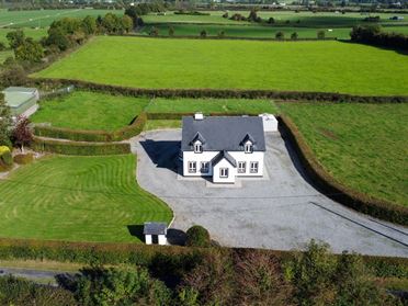
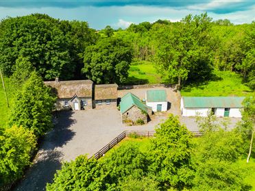
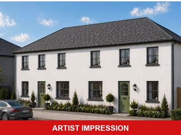
Based on 3 properties for sale in Geoghegan
Property types
Bedrooms
New listings covers the last 3 months; all other figures reflect properties currently for sale.
What’s in Geoghegan
Schools
Nearby primary school serving families in Ballinagore and the surrounding rural district.
Local primary provision serving children from Castletown and nearby Westmeath townlands.
Mixed secondary school in Moate offering broad post-primary education and extracurricular activities.
Several post-primary options are available in Mullingar, subject to admissions and travel arrangements.
Transport
Plan your journey ↗Main regional connection linking the area with Athlone, Mullingar and intervening settlements.
Limited services connect surrounding villages, with timetables requiring advance checking.
Mainline station providing Dublin, Sligo and regional rail connections from Mullingar.
Major rail interchange offering Dublin, Galway and Westport services from Athlone.
Accessible via Athlone, providing west-east travel towards Galway and Dublin.
Amenities
Notable historic house and local landmark set within the surrounding Westmeath countryside.
Nearby village facilities including convenience shopping and everyday community services.
Broad range of supermarkets, shops, cafés, restaurants, banks and professional services.
Regional retail centre with supermarkets, restaurants, healthcare and leisure facilities.
Large sports and leisure facility offering fitness, swimming and recreational activities.
Public library providing books, digital access, community facilities and local events.
Local Clubs & Businesses
Gaelic games club serving Ballinagore and the surrounding rural Westmeath community.
Community-based Gaelic games club associated with the Castletown Geoghegan area.
Local voluntary organisations support events, recreation and village-based community life.
Nearby commercial centre providing employment, professional services, dining and independent businesses.


Nearby Areas
About this guide: This neighbourhood guide includes content generated with the assistance of artificial intelligence and images sourced from third-party platforms including Wikipedia. While we aim for accuracy, details such as local amenities, transport links, schools, and property data may change or contain errors. This content is provided for general informational purposes only and should not be relied upon as a substitute for independent verification. MyHome.ie accepts no liability for inaccuracies, omissions, or decisions made in reliance on this content.