
Dunmore Road Neighbourhood Guide
Waterford
About Dunmore Road
Dunmore Road is a well-established, predominantly residential area on Waterford’s eastern side, extending from the city towards the coastal village of Dunmore East and adjoining Ballygunner, Grantstown and Faithlegg. It has a settled, family-friendly feel, with a mix of established homes, newer housing developments and convenient access to everyday services. The University Hospital Waterford is nearby, making the area practical for hospital staff and healthcare visitors, while Waterford city centre is readily reachable by car and bus. Schooling is a strong feature, with primary and secondary options in Ballygunner, along the Dunmore Road corridor and elsewhere in Waterford city. Ardkeen Shopping Centre and the surrounding retail area provide supermarkets, cafés, restaurants, pharmacy and other services, including Aldi and O’Brien’s. Residents can also use city-centre amenities, nearby sports clubs and the open spaces around Faithlegg and the coast, with beaches and harbour facilities accessible towards Dunmore East. Local evenings are generally low-key and centred on nearby pubs, cafés and restaurants, while the area’s road connections make commuting around Waterford and towards the N25 relatively straightforward.
Property Market in Dunmore Road
Based on 15 properties for sale in Dunmore Road
Property types
Bedrooms
New listings covers the last 3 months; all other figures reflect properties currently for sale.
What’s in Dunmore Road
Schools
Independent day and boarding school on the Newtown Road, serving pupils from primary through secondary level.
Primary school serving families in the Ballygunner and eastern Waterford area.
Established local primary school close to Dunmore Road and Ballygunner residential areas.
Well-known secondary school on the eastern side of Waterford, accessible from Dunmore Road.
Visit website ↗Waterford secondary school on the Newtown Road, within convenient city-side reach.
Visit website ↗Transport
Plan your journey ↗Major hospital landmark and destination beside the Dunmore Road corridor.
Regular local buses connect eastern suburbs with Waterford city centre and surrounding districts.
Central retail, employment and transport hub reached conveniently from Dunmore Road.
Strategic road connection towards New Ross, Kilkenny, Cork and the wider southeast.
Mainline station providing rail connections to Dublin, Kilkenny, Limerick Junction and Rosslare.
Amenities
Key local retail centre with supermarkets, cafés, pharmacy, services and everyday shopping.
Popular discount supermarket serving Dunmore Road and surrounding eastern Waterford neighbourhoods.
Visit website ↗Convenient café and food outlet within the Ardkeen retail area.
Regional hospital providing emergency, outpatient and specialist healthcare services nearby.
Local betting shop and retail service located within the area’s commercial amenities.
Visit website ↗Pleasant nearby countryside setting for walks, golf and outdoor recreation.
Local Clubs & Businesses
Established golf club on the eastern side of the city near the Suir estuary.
Prominent local hurling and Gaelic games club serving Ballygunner and surrounding communities.
River-based rowing and watersports club with facilities along the Suir.
Established city tennis club offering courts, coaching and organised social play.
Concentrated local commercial area supporting groceries, cafés, services and professional businesses.
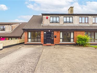
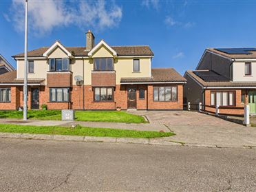
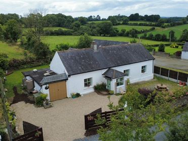
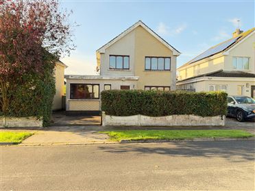
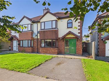
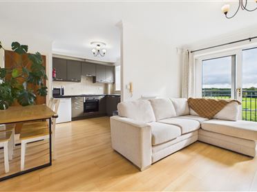
Properties For Sale near Dunmore Road





Nearby Areas
About this guide: This neighbourhood guide includes content generated with the assistance of artificial intelligence and images sourced from third-party platforms including Wikipedia. While we aim for accuracy, details such as local amenities, transport links, schools, and property data may change or contain errors. This content is provided for general informational purposes only and should not be relied upon as a substitute for independent verification. MyHome.ie accepts no liability for inaccuracies, omissions, or decisions made in reliance on this content.