


About Clogheen
Clogheen is a small market town in south County Tipperary, in the scenic valley between the Galtee and Knockmealdown Mountains and close to the River Suir. It has a rural, community-oriented character, with traditional streets, surrounding farms and easy access to attractive countryside around the Vee, Bay Lough and the Knockmealdowns. Day-to-day life is centred on the town’s shops, cafés, pubs and local services, while larger shopping and employment centres include Clonmel, approximately 25 kilometres away, and Dungarvan across the county boundary. Clogheen has a primary school in the town, with secondary education generally requiring travel to nearby towns such as Clonmel or Cahir. Bus Éireann services provide links towards Clonmel and Dungarvan, while the N24 and N72 offer useful road connections; the nearest railway station is at Clonmel. Local amenities include community and sporting facilities, playground provision and access to walking, cycling and angling in the surrounding countryside. The town is also well placed for day trips to Swiss Cottage, Cahir Castle, Lismore Castle and the heritage villages of Ardfinnan and Ballyporeen.
Property Market in Clogheen
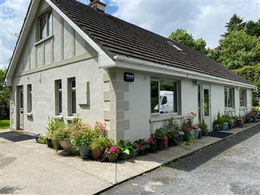
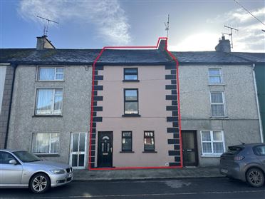
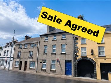
Based on 3 properties for sale in Clogheen
Property types
Bedrooms
New listings covers the last 3 months; all other figures reflect properties currently for sale.
What’s in Clogheen
Schools
Local primary school serving children from Clogheen and surrounding rural communities.
Co-educational secondary school serving pupils from Cahir and nearby south Tipperary areas.
Independent co-educational boarding and day school at nearby Cashel.
Post-primary option serving students from wider south Tipperary and Waterford hinterland.
Transport
Plan your journey ↗Regional service linking Clogheen with Clonmel, Cahir and Dungarvan.
National route providing access towards Cahir, Clonmel, Tipperary town and Waterford.
National road connecting the area with Lismore, Dungarvan and the south coast.
Nearest rail station, with services towards Waterford, Limerick Junction and beyond.
Nearby station on the Limerick Junction to Waterford rail line.
Amenities
Local venue for community activities, meetings, classes and social events.
Children’s outdoor play area serving families in the town and surrounding district.
Scenic mountain pass with celebrated views across the Golden Vale and Galtee Mountains.
Picturesque mountain lake and walking destination near the Vee and Knockmealdowns.
Traditional town venues providing food, refreshments and informal community meeting places.
Convenient local provision including groceries, everyday retail and essential town services.
Major riverside heritage attraction a short drive north of Clogheen.
Local Clubs & Businesses
Local GAA organisation supporting Gaelic games and community sporting activity.
Community football club providing soccer activities for local players and families.
Traditional annual rural show celebrating local agriculture, crafts, animals and community life.
Local group involved in community initiatives, facilities and events.
Regional organisation promoting walking, outdoor recreation and sustainable tourism in the mountains.



Nearby Areas
About this guide: This neighbourhood guide includes content generated with the assistance of artificial intelligence and images sourced from third-party platforms including Wikipedia. While we aim for accuracy, details such as local amenities, transport links, schools, and property data may change or contain errors. This content is provided for general informational purposes only and should not be relied upon as a substitute for independent verification. MyHome.ie accepts no liability for inaccuracies, omissions, or decisions made in reliance on this content.