

About Ballingarry
Ballingarry is a small rural village and townland area in west County Limerick, within the V94 routing district and close to Croagh, Rathkeale, Granagh, Kilmeedy, Castletown and Knockaderry. It has a quiet, community-oriented character, with dispersed countryside housing around a traditional village centre and easy access to the larger services of Rathkeale and Newcastle West. Local life is centred on parish, school and sporting activities, while the surrounding farmland gives the area an open, settled feel. Families generally use nearby primary schools in the surrounding villages, with secondary education and a wider choice of shops and services available in Rathkeale and Newcastle West. Road travel is the main transport option: the N21 and regional roads provide links towards Limerick city, Newcastle West, Tralee and Killarney, while regular bus services are more readily accessed in Rathkeale or Newcastle West than in the village itself. Shopping is focused on everyday needs locally and in Rathkeale, with larger supermarkets, cafés, restaurants and professional services in Newcastle West. Pubs and community venues in the surrounding villages provide much of the social life, alongside GAA, walking and parish activities. The nearby Great Southern Greenway, running through the Newcastle West–Rathkeale area, is a notable leisure asset for cycling and walking.
Property Market in Ballingarry
Based on 7 properties for sale in Ballingarry
Property types
Bedrooms
New listings covers the last 3 months; all other figures reflect properties currently for sale.
What’s in Ballingarry
Schools
Local primary school serving children from Ballingarry and the surrounding rural parish.
Visit website ↗Nearby primary school serving families in Croagh and neighbouring west Limerick townlands.
Primary education option in Rathkeale, with broader village services close by.
Co-educational secondary school serving pupils from west Limerick and surrounding areas.
Mixed post-primary school within driving distance for families south-east of Ballingarry.
Transport
Plan your journey ↗Main west Limerick route linking Newcastle West, Adare, Limerick city and Kerry.
Nearby town-based bus connections provide access towards Limerick and west Kerry.
Broader regional bus options are available from the nearby county town.
Local roads connect Ballingarry with surrounding villages and the N21 corridor.
Traffic-free greenway access nearby for recreational cycling, walking and local excursions.
Amenities
Nearest larger service centre, with supermarkets, shops, cafés, pharmacies and professional services.
Main nearby retail hub offering supermarkets, restaurants, banking and a wide service range.
Historic Rathkeale venue offering accommodation, food and facilities for local gatherings.
Local venue supporting activities, classes, meetings and community events.
Popular off-road walking and cycling route following the former railway line.
Public library providing books, digital access, study space and community programming.
Important venues for worship, parish life, events and local social connections.
Local Clubs & Businesses
Local Gaelic games club supporting juvenile and adult participation within the parish.
Established nearby club offering Gaelic games and community sporting activities.
Parish-based community organisation supporting local events, facilities and neighbourly activities.
Important regional livestock mart reflecting the area’s strong agricultural economy.
Traditional meeting places providing informal hospitality and community social life.
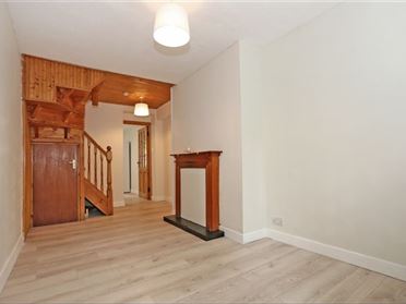
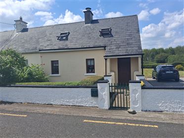
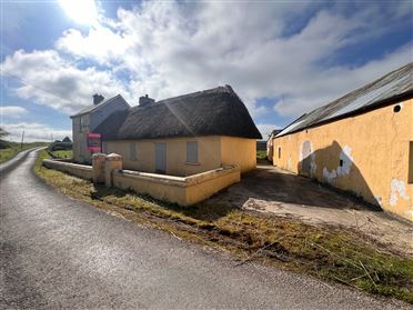
Properties For Sale near Ballingarry





Nearby Areas
About this guide: This neighbourhood guide includes content generated with the assistance of artificial intelligence and images sourced from third-party platforms including Wikipedia. While we aim for accuracy, details such as local amenities, transport links, schools, and property data may change or contain errors. This content is provided for general informational purposes only and should not be relied upon as a substitute for independent verification. MyHome.ie accepts no liability for inaccuracies, omissions, or decisions made in reliance on this content.