

About Camp
Camp is a small rural and coastal-influenced locality on the Dingle Peninsula in County Kerry, positioned between Castlemaine and Castlegregory and within reach of Tralee, Killorglin and Inch. The area has a quiet, community-minded character, with scattered homes, farmland and broad views towards the Slieve Mish Mountains and Dingle Bay. Daily life is peaceful and car-dependent, although the village serves as a useful stopping point for residents and people travelling along the N86. Local schooling is centred on nearby primary schools, while secondary pupils generally travel to Tralee, Castlemaine or other larger settlements. Shopping and services are limited locally, so residents typically combine small village purchases with larger trips to Tralee, Killorglin or Dingle; local pubs and cafés provide much of the social life. The surrounding landscape offers excellent walking, cycling, fishing and beach access, with Inch Strand and the Castlegregory peninsula especially attractive for outdoor recreation. Camp’s location also makes it a practical base for exploring the Dingle Peninsula, while the wider area is known for GAA, traditional music and strong rural community connections.
Property Market in Camp
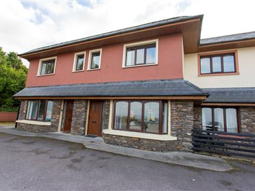
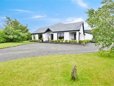
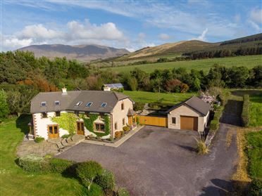
Based on 3 properties for sale in Camp
Property types
Bedrooms
New listings covers the last 3 months; all other figures reflect properties currently for sale.
What’s in Camp
Schools
Local primary school serving children from Camp and surrounding rural communities.
Nearby primary school serving families across the Castlegregory and Maharees area.
Village primary school serving Castlemaine and neighbouring eastern Kerry communities.
Established secondary school option within travelling distance for families across mid-Kerry.
Transport
Plan your journey ↗The principal regional road linking Camp with Tralee, Dingle and peninsula villages.
Regional services connect the peninsula with Tralee and other Kerry towns.
County Kerry’s main rail station, providing Dublin and Limerick connections via Mallow.
Regional airport near Farranfore, offering selected domestic and international services.
Scenic regional route connecting Camp with Castlemaine, Castlegregory and the coast.
Amenities
Useful local parking provision for visitors stopping in the village and surrounding area.
Long sandy strand popular for walking, surfing, swimming and wide coastal views.
Nearby village provides everyday shops, food, pubs and practical community services.
Popular beachside venue offering food, drinks and views across Dingle Bay.
Local-style pub and meeting place serving the surrounding Camp community.
Community venue hosting local activities, events and gatherings throughout the year.
Larger nearby centre with supermarkets, retail, healthcare, cafés and leisure facilities.
Local Clubs & Businesses
Local voluntary organisation supporting community events and area improvements.
Gaelic games club serving players and families across the peninsula area.
Nearby club providing Gaelic football and community sporting activities.
Seasonal local businesses support visitors with food, recreation and beach-related services.
Nearby leisure facilities reflecting the area’s strong outdoor and coastal character.



Nearby Areas
About this guide: This neighbourhood guide includes content generated with the assistance of artificial intelligence and images sourced from third-party platforms including Wikipedia. While we aim for accuracy, details such as local amenities, transport links, schools, and property data may change or contain errors. This content is provided for general informational purposes only and should not be relied upon as a substitute for independent verification. MyHome.ie accepts no liability for inaccuracies, omissions, or decisions made in reliance on this content.