Description
Show more...

| Beds | |
| Price | POA |
| Property Type | Farm Land |
| Size | meters2 |
| Energy Rating | BER- |
| Refreshed on | Aug 7, 2026 |
| Eircode | |
| Group Name | Padraic Davis Auctioneers |
| Sales License Number | 004525 |
Description
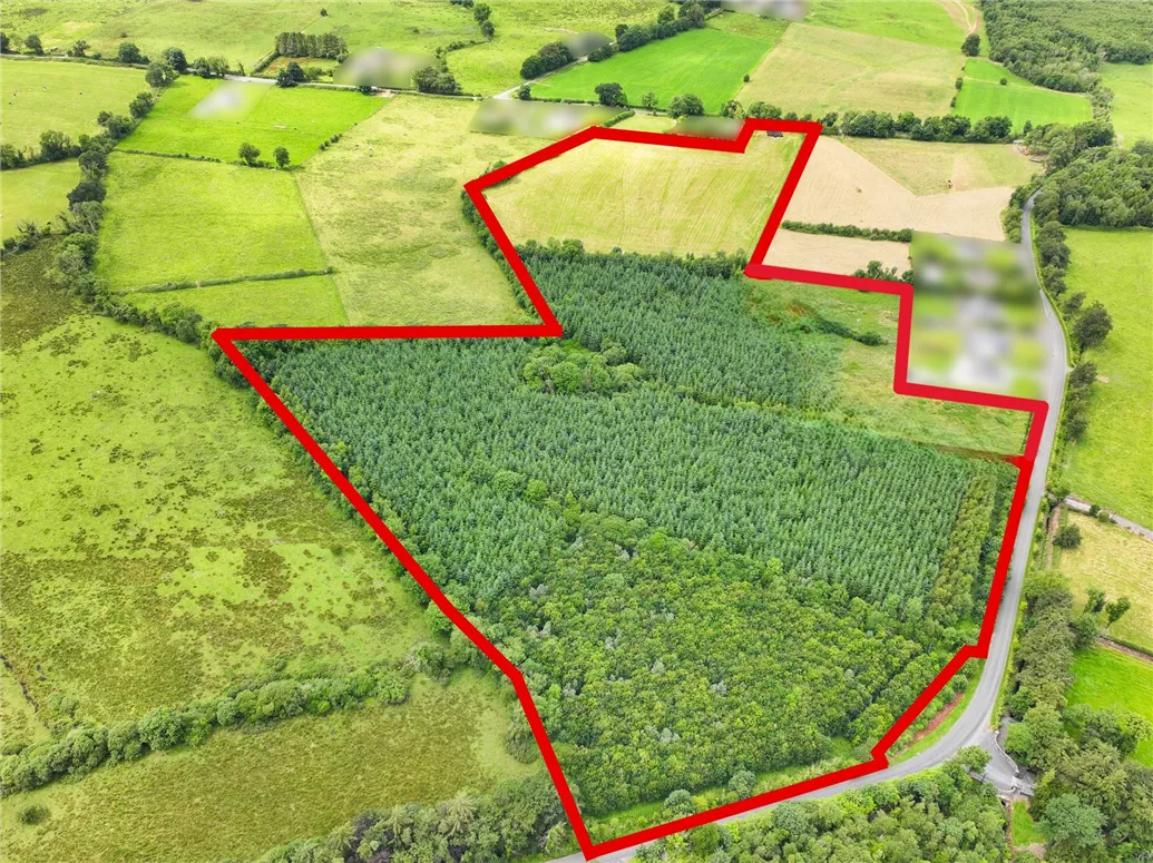
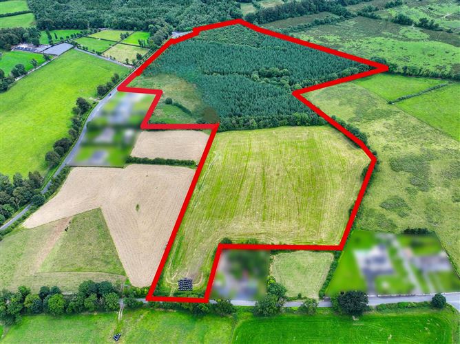
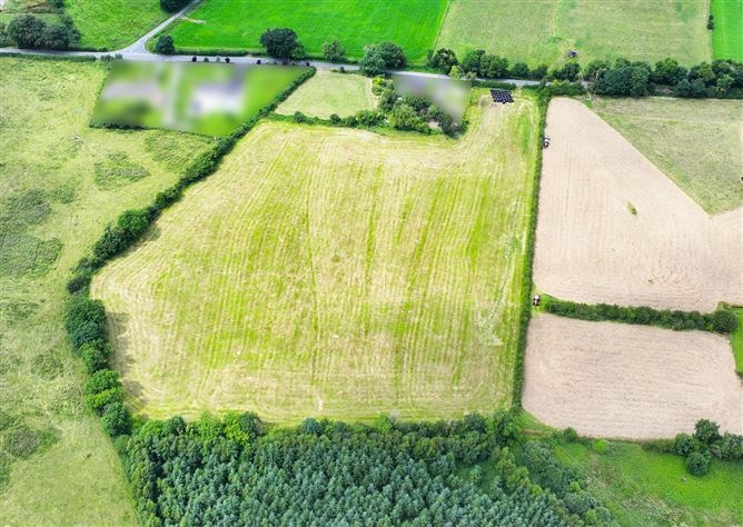
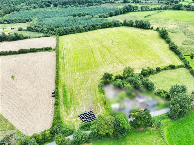
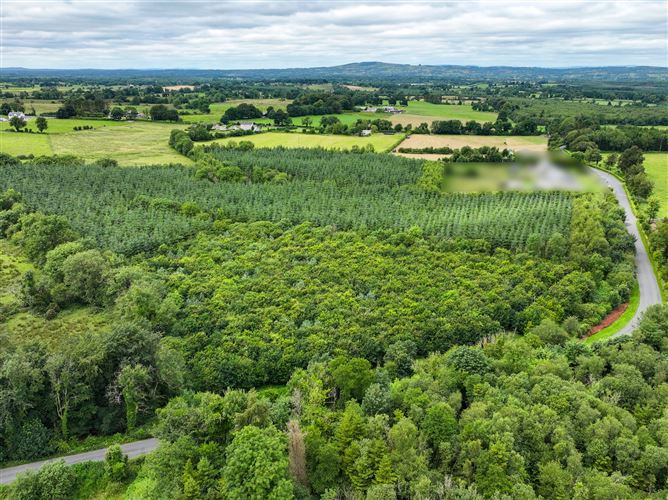
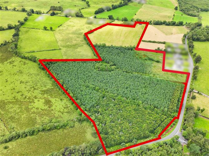
C. 27.80 ACRES (c.11.25 hectares) of a mixture of Grass Land and Forestry. Located at Kiltykeary, Edgeworthstown, this property comprises of approximately c.27.80 acres of a mixture of forestry land, as well as c. 9.10 acres of good quality agricultural which is under grass with road frontage. The forestry (c.18.70 acres) comprises of a mixture of sitka spruce and native trees, while the remaining land is under grass of good quality, with road frontage measuring approximately 45m. The property has site potential subject to the necessary planning permission from the local authority. Please contact us on 043 3350555 for further details. FOLIO Number: LD3893F DIRECTIONS: GPS: 53.72746897759758, -7.615755042050325 53.72501075972086, -7.611050108990041 FEATURES: Site Potential - Approximately 45m Road Frontage Agricultural Grass Land - C.9.10 acres Forestry Land - C.18.70 acres 5-10 minutes to N4, Edgeworthstown and Ballinalee 5km to the Edgeworthstown Train Station Train Station: 7 Trains a day on the Dublin-Sligo Line 15-minute drive to Longford Town 1 hour 20 minutes to Dublin 1 hour 10 minutes to Sligo 30 minutes to Cavan Town Note: Receipt of these particulars implies an obligation to conduct all negotiations through Padraic Davis Auctioneers LTD. The contents do not constitute an offer or form the basis of any contract. All descriptions, dimensions, references to condition etc, are given in good faith and are believed to be correct. Any intending purchasers should not rely on them and are strongly advised to view the property for themselves. All measurements are approximate, and photographs provided are for guidance purposes only. These particulars are not to be considered a formal offer; they do not form any part of a resulting contract. The boundary markings for this land holding, outlined in Red, are strictly for guidance purposes only.

Date created: 7 Aug 2026Updated on: 4 Sept 2026