Description
Features
Negotiator
Show more...
Beds | |
Price | POA |
Property Type | Development Land |
Size | 147143.69951846 meters2 |
Energy Rating | BER- |
Refreshed on | Sep 17, 2025 |
Eircode | KILDARE |
Group Name | Knight Frank |
Sales License Number | 001266 |
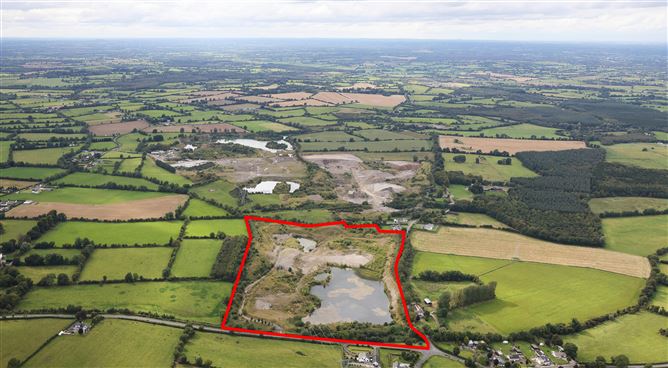
Description
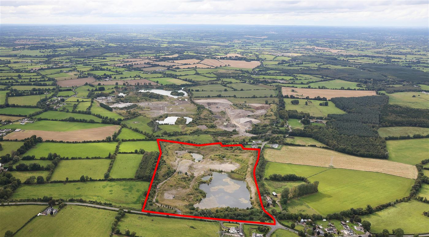
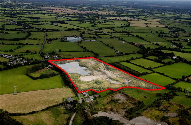
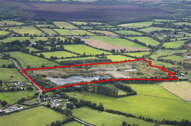
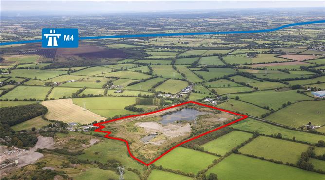
The subject lands comprise a substantial 34 acre (approx.) landholding, formerly operated as a Quarry. The site is predominantly surrounded by agricultural land, with quarries neighbouring to the west and housing also present in the area. The lands benefits from extensive road frontage including the L1002 along its eastern boundary and Kilglass Road along the northern boundary. An approved infill restoration plan is currently in place for the site following it's previous use as a quarry. Location The property is located in north-west County Kildare, just north of Carbury village and approximately 5km south of the County Meath border. Strategically positioned between Carbury and the M4 Motorway, the site enjoys excellent access to both regional and national transport routes. Enfield lies approximately 10km to the east and provides access to the M4 as well as rail connections. The larger commuter towns of Maynooth and Naas are each approximately 30km away, while Kinnegad and access to the M6 Motorway are only 35km from the site. Edenderry is located around 25km to the south-west. This central location within the Leinster region ensures strong regional connectivity. Dublin City Centre can be reached in under an hour via the M4, making the site highly accessible while avoiding the congestion of an urban area. The proximity to the national motorway network via the M4 and M6 routes is particularly beneficial, offering efficient east-west connectivity across the Midlands.
Features
- Approved infill restoration plan in place.- Strategically located close to the M4 and M6
Negotiator
Evan Lonergan
Date created: Sep 17, 2025