Description
Directions
Show more...
| Beds | |
| Price | Sold |
| Property Type | |
| Size | meters2 |
| Energy Rating | BER- |
| Refreshed on | |
| Eircode |
Description
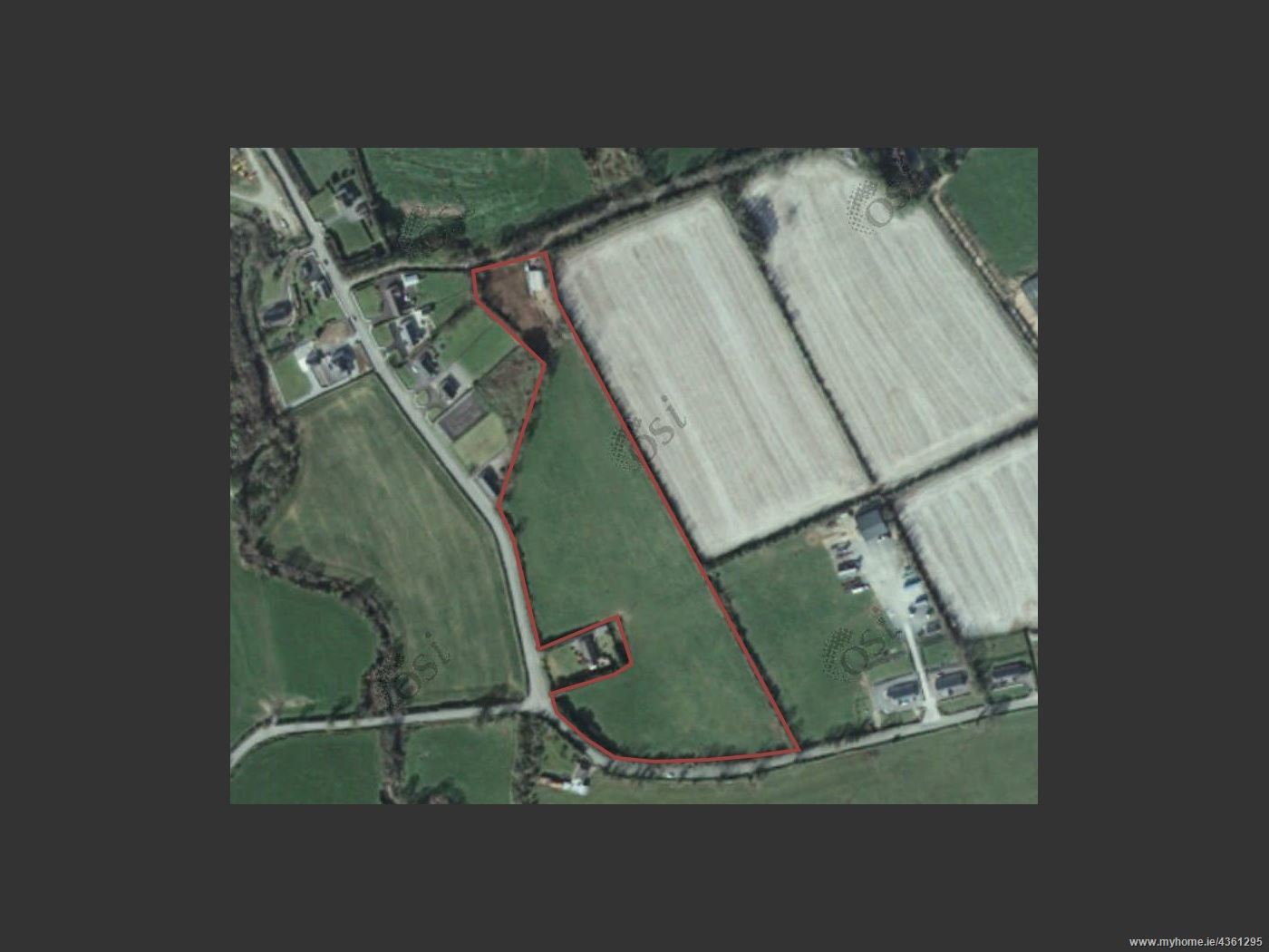
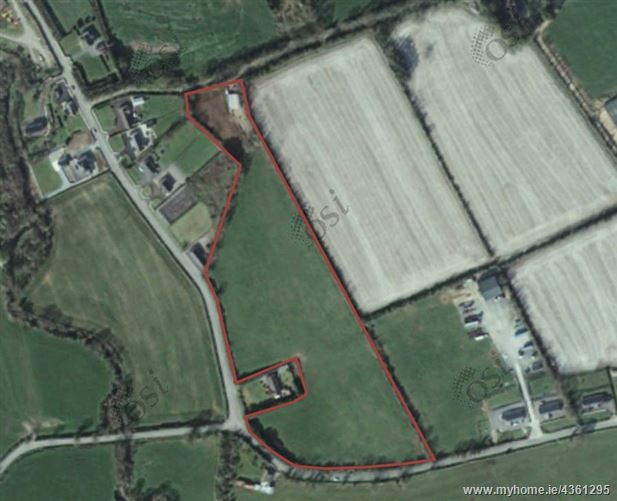
The property comprises an irregular shaped parcel of land with extensive road frontage. The lands are held under 1 folio (CK1483F) and are presently accessed via a registered right of way. The property adjoins and is partly within the Lombardstown Settlement Boundary as identified in the Kanturk – Mallow Municipal District Local Area Plan 2017. The vision of the local area plan seeks to “encourage small scale residential development, sympathetic to the character of the village in tandem with provision of employment and services.”
Directions
The property is situated within the village of Lombardstown, approximately 10km to the west of Mallow town centre and 1 km south of the N72 (Mallow – Killarney road).


Date created: Aug 26, 2019