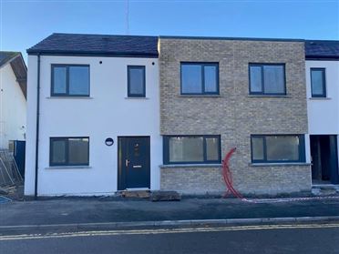
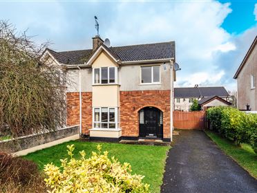
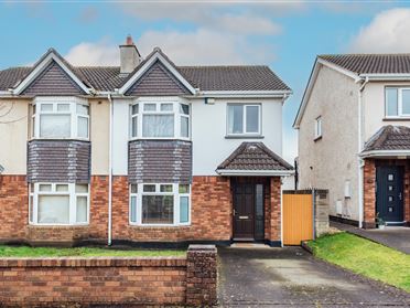
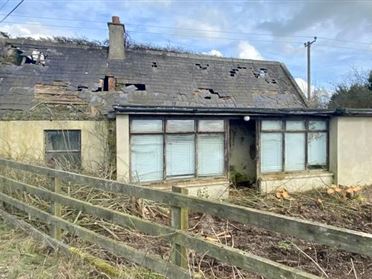
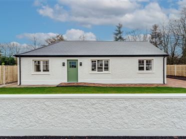
Description
Directions
Show more...
| Beds | |
| Price | Sold |
| Property Type | |
| Size | meters2 |
| Energy Rating | BER- |
| Refreshed on | |
| Eircode |
Description
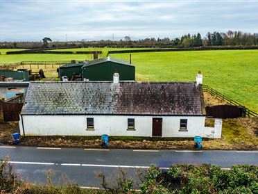
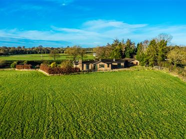
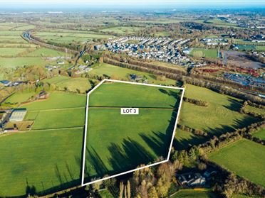
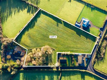
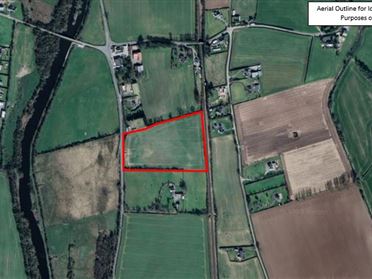
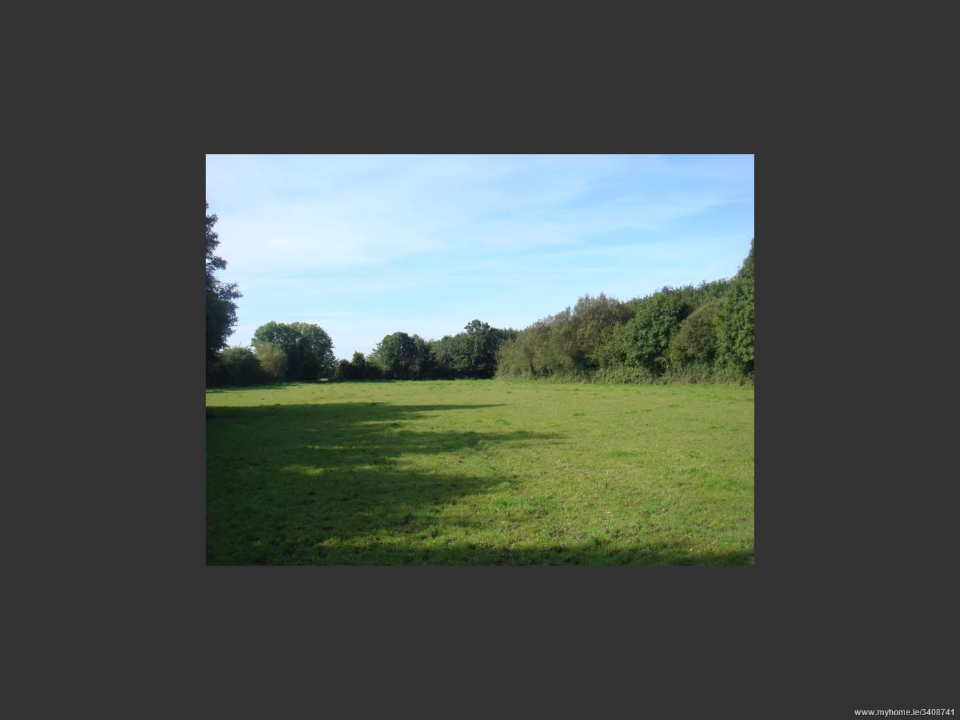
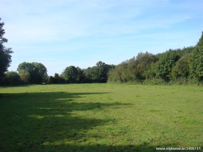
LOCATION: The property is located off the Monastervin to Athy road (R417) close to the village of Kildangan and accessed via a series of county roads which connect the area with the surrounding hinterland. Kildangan is a small village in southwest Kildare close to the Laois border, approximately 3km from Monasterevin, 8km from Kildare and 16km from Newbridge. The M7 motorway can be accessed at Kildare or Monasterevin as can the Arrow rail service which provides a regular schedule of trains to and from the Capital. DESCRIPTION: These lands extend to 10.52 hectares (26 acres) and are all in grass with natural boundaries and hedgerows throughout in a number of divisions. Mains water on road. DIRECTIONS: From Monasterevin: Take the R417 towards Athy. Once in the Village of Kildangan take right hand turn immediately after Crosskeys pub. Continue to end of road and at t-junction take left. Continue on that road and land is on your right with a Jordan sign.
Directions
From Monasterevin: Take the R417 towards Athy. Once in the Village of Kildangan take right hand turn immediately after Crosskeys pub. Continue to end of road and at t-junction take left. Continue on that road and land is on your right with a Jordan sign.
Date created: Nov 16, 2015